Technology for good: identifying real-time mangrove loss in Kenya
-
Coasts & Deltas
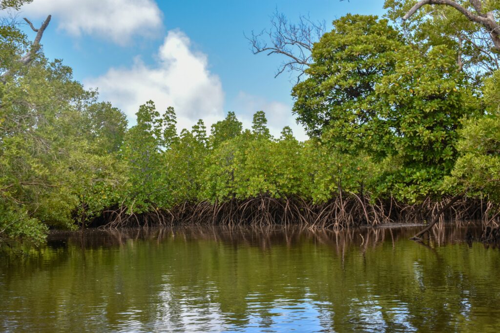
In the lush, coastal landscape of Lamu, the unique practice of selective mangrove harvesting has posed a significant challenge: identifying and addressing illegally degraded mangrove areas.
60% of Kenya’s mangroves are found in the Lamu-Tana region. These mangroves contribute nearly USD 85 million per year to the national economy and sustain the livelihoods of about 800,000 artisanal coastal fishermen. Kenya’s mangroves store up 3% of the country’s total fossil fuel emissions each year.

Lamu county, unlike any other in Kenya, grants local communities the right to harvest mangroves for income through structured licensing from the Kenya Forest Service (KFS). Despite the existence of these regulations, illegal harvesting still occurs. Without proper monitoring, these illegal activities can go unchecked.
To combat this, the KFS established a national forest alert system, that sends bi-weekly updates on mangrove disturbances in protected areas. However, verifying these alerts (i.e. differentiating legal from illegal harvesting), especially in dense mangrove regions, is tricky without on-the-ground confirmation.
This is where the Global Mangrove Watch (GMW) platform steps in, offering a game-change solution. With its high-resolution planetary imagery, GMW offers a detailed view of mangrove changes, allowing forest managers to scrutinize alerts before sending patrols to investigate potential instances of illegal harvesting. Furthermore, the new mangrove alerts functionality now provides disturbance alerts, enabling detection and verification of changes in mangrove cover in near-real time.

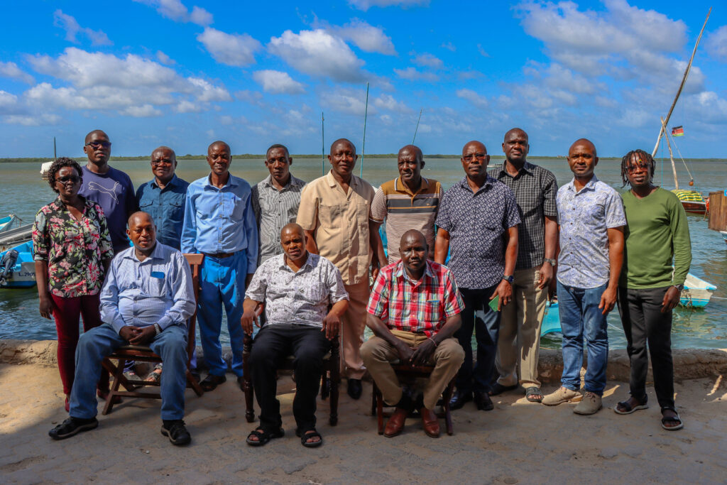
In addition to this, Wetlands International supported KFS in setting up a first-of-its-kind alert command center. This center will benefit from the monthly GMW alerts, supplementing the national alert system and ensuring a more comprehensive monitoring approach. The goal is to reduce patrol costs by verifying alerts before dispatching teams to the field.
With the success of this alert system, KFS will look to replicate and upscale this in the five coastal counties with mangroves.
Because of this innovative collaboration, Lamu’s mangrove ecosystems now stand a better chance of being preserved and sustainably managed, safeguarding both the environment and the livelihoods of the local communities who depend on these vital forests.

This work is implemented by Wetlands International, with support from WWF and IUCN (Mangrove Capital Africa and Save Our Mangroves Now projects)
