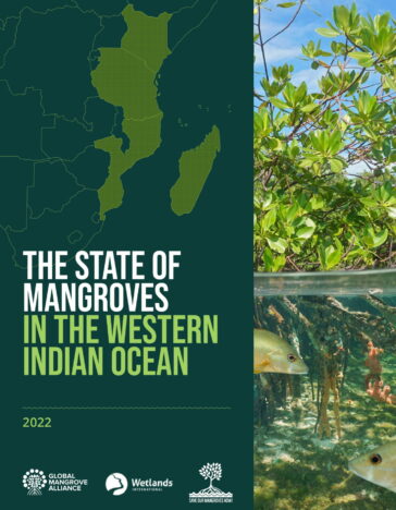
The State of Mangroves in the Western Indian Ocean
-
Coastal wetland conservation
The state of mangroves in the Western Indian Ocean report is the first report to quantify and map mangrove blue carbon, drivers of change, and restoration potential or mangroves in the region, using the latest and best globally available data. The report is based on an analysis of Global Mangrove Watch (GMW) data following a systematic and standardised approach adopted and endorsed by the world’s five main conservation organisations. The GMW dataset is derived from high-resolution remote sensing imagery from 1996-2020, and has been supplemented in this report with insights from the latest scientific literature, socio-economic evaluations and input from local partners in the region.
The report shows how important mangroves truly are. Degradation rates are going down, but we still see a decline in mangrove cover. The report shows the huge impact of loss of mangroves for livelihoods, the climate, and biodiversity. It shows that we have a huge task ahead of us. There is a limitless amount of restoration potential, in which huge amounts of carbon can be conserved and sequestered.
The real strength of the report lies in the collaboration between global and regional actors. The best remote sensing scientists globally collaborate on the Global Mangrove Watch Initiative, led by Wetlands International and The Nature Conservancy to develop and make available the most reliable and nuanced mangrove data. Regionally, the “Save Our Mangroves Now!” Initiative has been the backdrop against which this report has been developed.We would like to thank the partners in the programme, of WWF and IUCN, for their invaluable contributions. Additionally, our collaboration in the region is growing ever stronger. With the Global Mangrove Alliance regional chapters, and regional collaborations in the WIOMN, WIOMSA, and Nairobi Convention.
Header Picture – Mangroves at Ambilobe, Diana, Madagascar

